sonnora@systems:~/projects/sigeica$ cat README
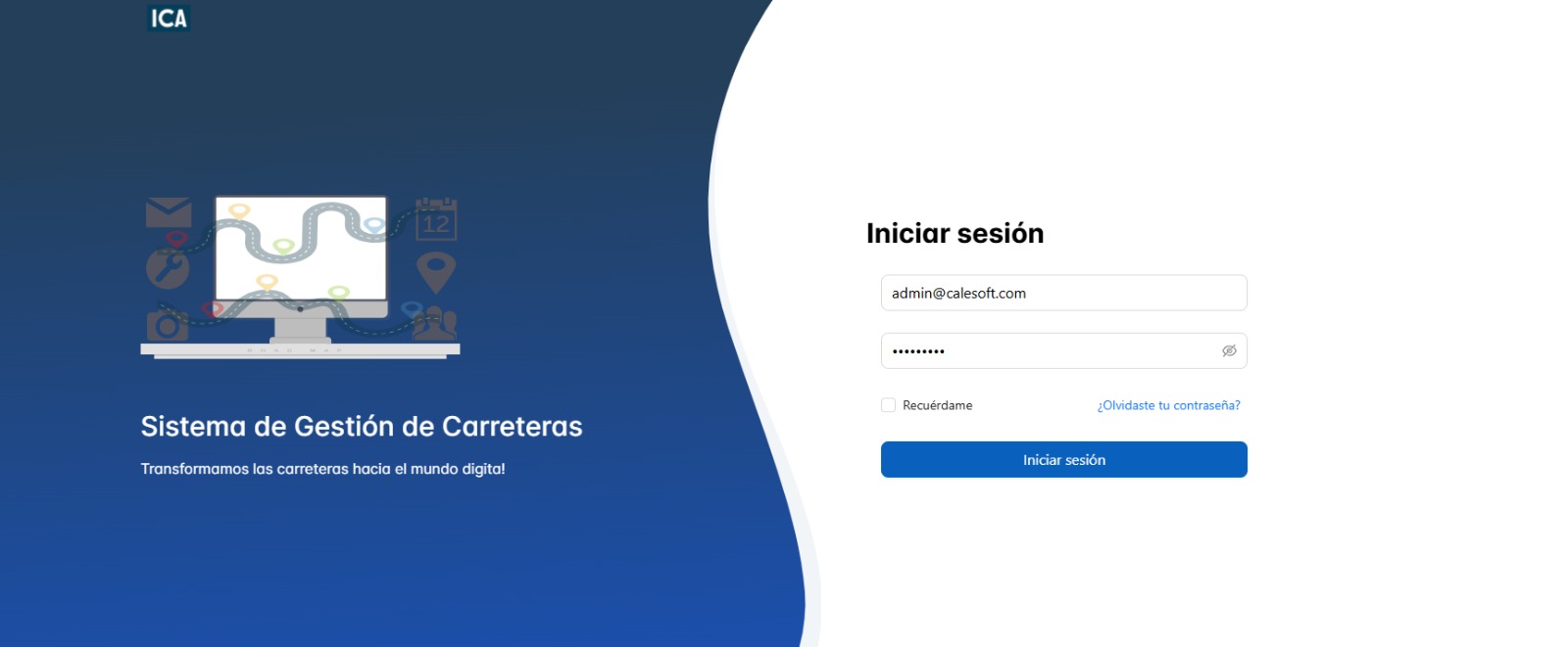
SIGEICA — the road, every asset on it.
A road asset management system built around a hierarchical asset tree, georeferenced positioning, and a full incident + bitácora workflow. Designed for infrastructure teams managing highways, bridges, signage, and every element along the corridor.
// the problem
Spreadsheets and disparate systems can't keep up with a highway corridor — not in position, not in status, not in audit trail.
Assets along a road — signage, barriers, pavement markers, bridges — are spread across kilometers, each with its own maintenance schedule and history. Flat lists lose spatial context; generic GIS tools don't model the parent/child relationships between a corridor, a km-post segment, and the assets bolted to it.
SIGEICA models the road network as a hierarchy: corridors contain segments, segments contain asset categories, and categories contain individual assets — each pinned to a precise georeferenced point along the road. Incidents, work orders, and bitácoras (change logs) tie every action back to an asset, a person, and a reason.
// core modules
Five pillars, one system
Hierarchical Asset Tree
Roads are the root asset. Child assets — signage, barriers, bridges, pavement markers — nest beneath their segment. Navigate the tree like a file system, with inherited metadata and roll-up calculations.
Georeferenced Positioning
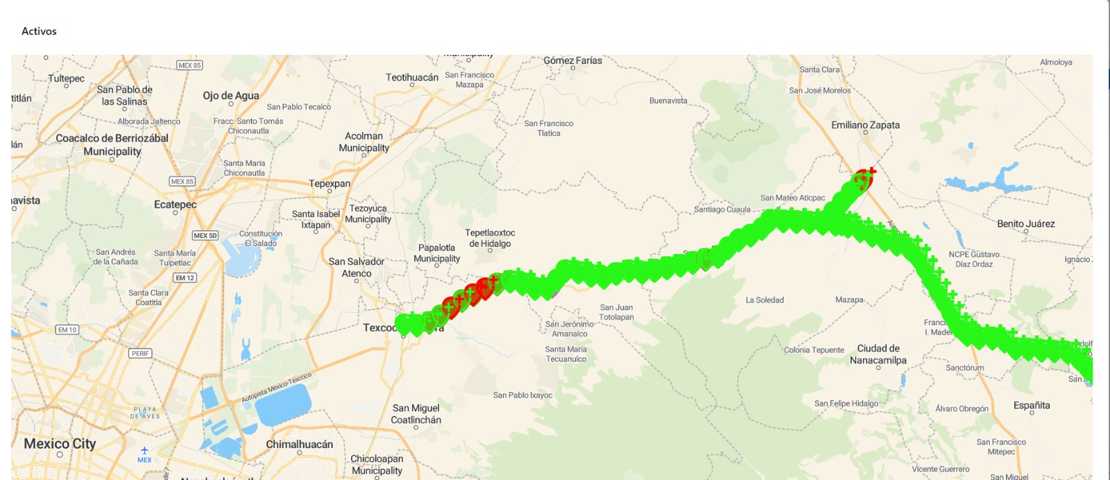
Every asset is pinned to a precise coordinate along the road corridor using linear referencing. Zoom the map to see exact positions — no more guessing from milepost ranges.
Search & Filters
Filter assets by category, status, road, or inspection date. Full-text search across names, descriptions, and bitácora entries with faceted results.
Incidents Module
Report, track, and resolve incidents tied to assets. Each incident flows through configurable statuses — open, in progress, resolved, closed — with automated notifications and SLA tracking.
Bitácoras (Logs)
Every asset change, incident update, and status shift is recorded in an immutable bitácora. See who changed what, when, and why — full audit trail for compliance and accountability.
// interface
A map-first interface, built for the field
SIGEICA's UI is split into a full-width map view, an asset detail panel, and an incident timeline — each collapsible for field work on tablets or desktops.
// under the hood
The stack that keeps the data right
.NET Core 8 with Entity Framework Core, running on Linux containers. SQL Server 2025 for the asset hierarchy, georeferenced coordinates, and bitácora audit trail with full ACID guarantees.
Vue 3 with TypeScript and Pinia for state management. Map rendering via Mapbox GL JS with a custom linear-referencing plugin for precise km-post positioning.
A state machine drives the incident lifecycle — opened, assigned, in progress, reviewed, closed. Each transition is logged to the bitácora with the responsible engineer and an optional reason field.
Role-based access control at the corridor and asset-category level. Field crews get mobile-restricted views; supervisors and auditors get full read access to the bitácora.
// connect
Interested in SIGEICA for your corridor?
Get in touch about early access, custom integrations, or contributing to the development roadmap.